We offer a range of specialist aerial imaging and data capture services to industry.
Sensitive Locations
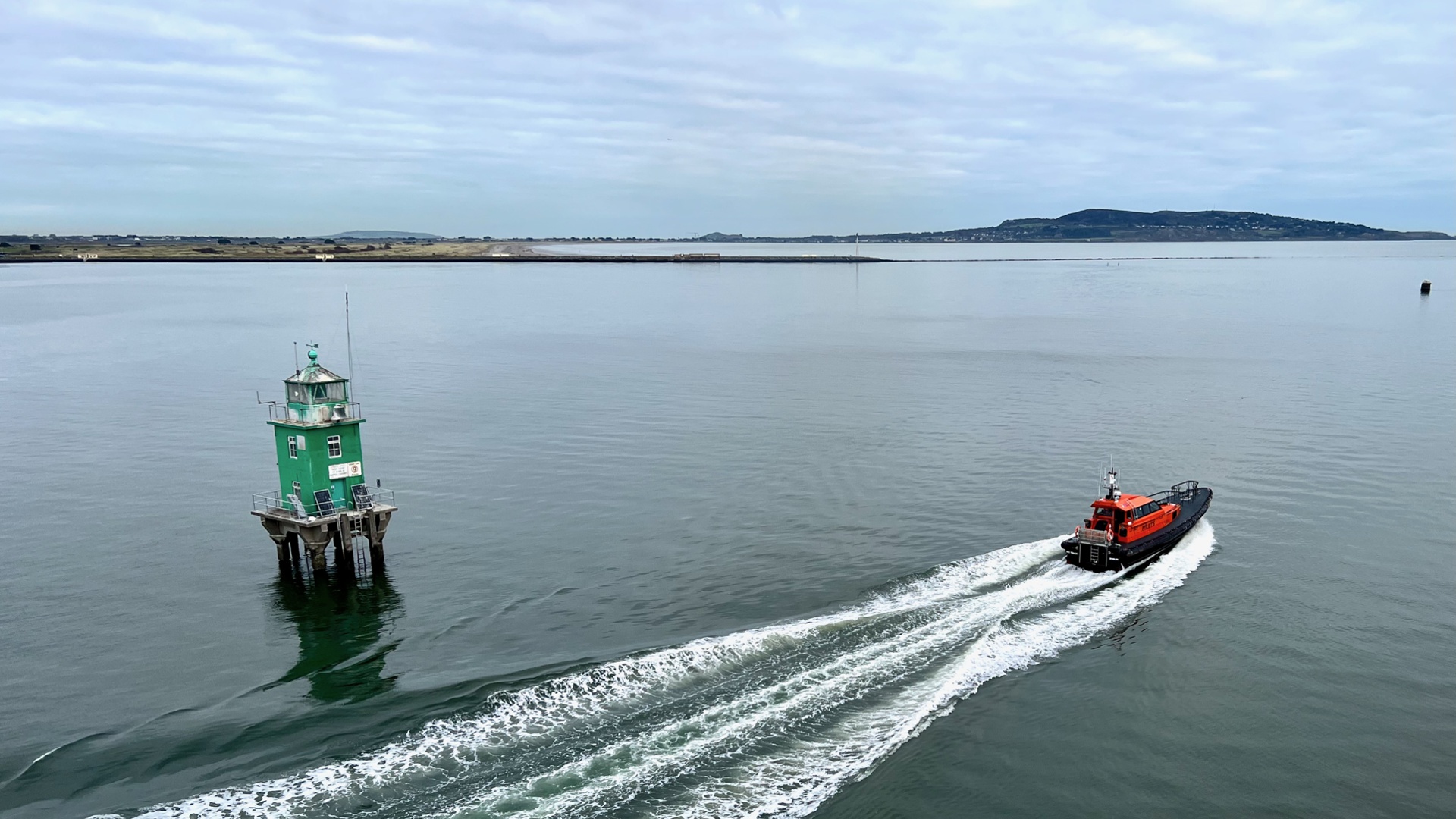
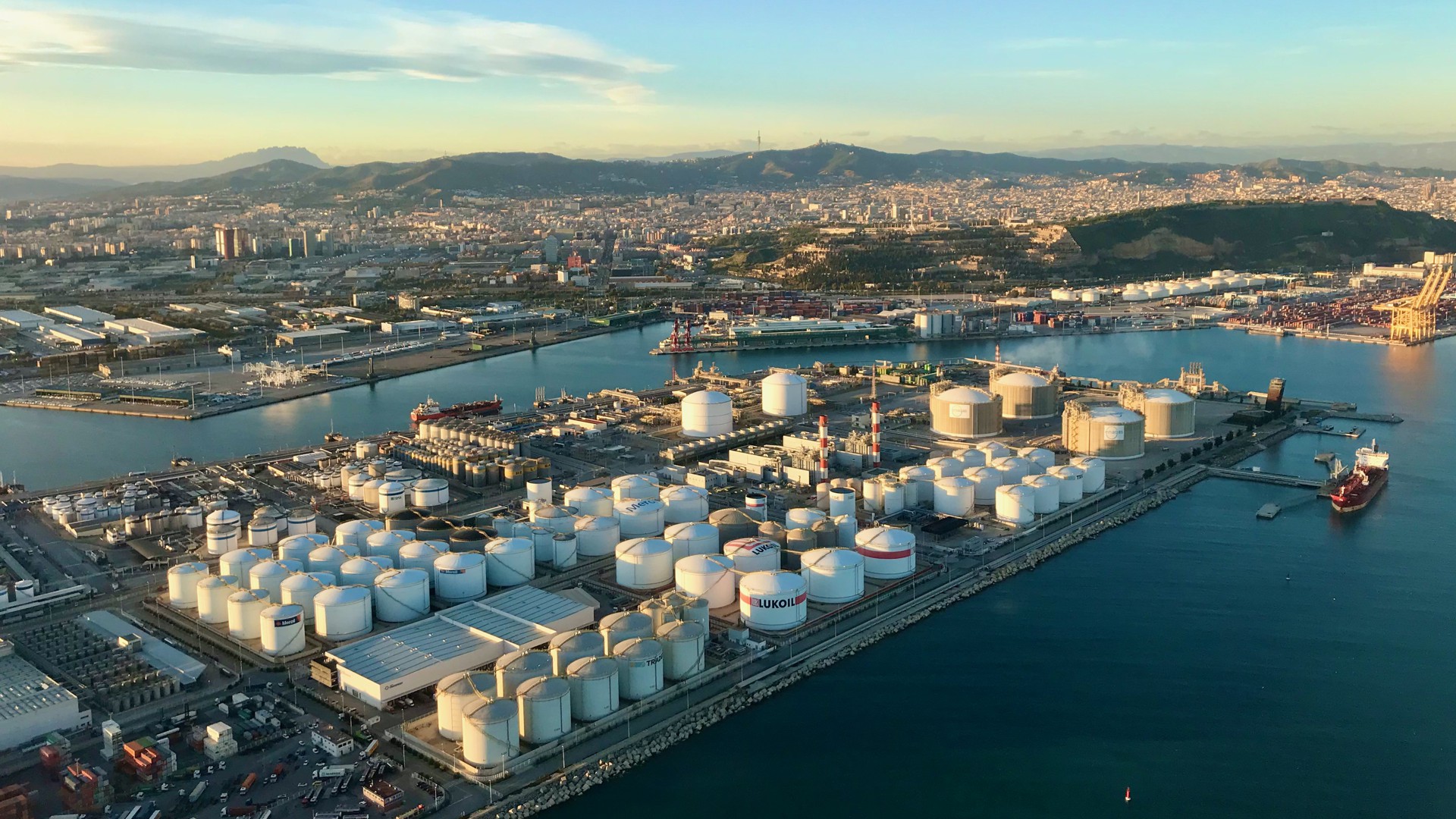
We are specialists in working in sensitive locations such as airports, ports, transport, energy, oil & gas, utilities, restricted zones and other secure locations.
By understanding your needs and the operating environment, we can devise a plan to get the images you need, safely and with minimum or no disruption.
Asset Inspection
Using a drone to collect asset inspection imagery and data allows fast data capture at lower risk than a manual inspection and enables you to spot problems before they cause a business interruption.
Photogrammetry
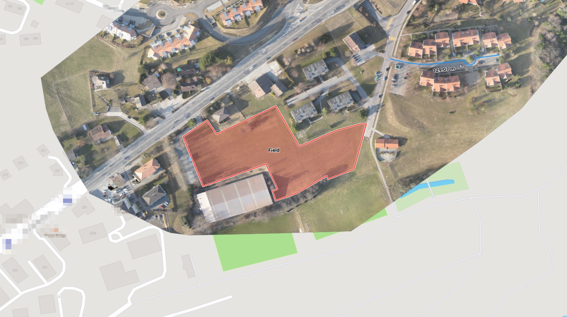
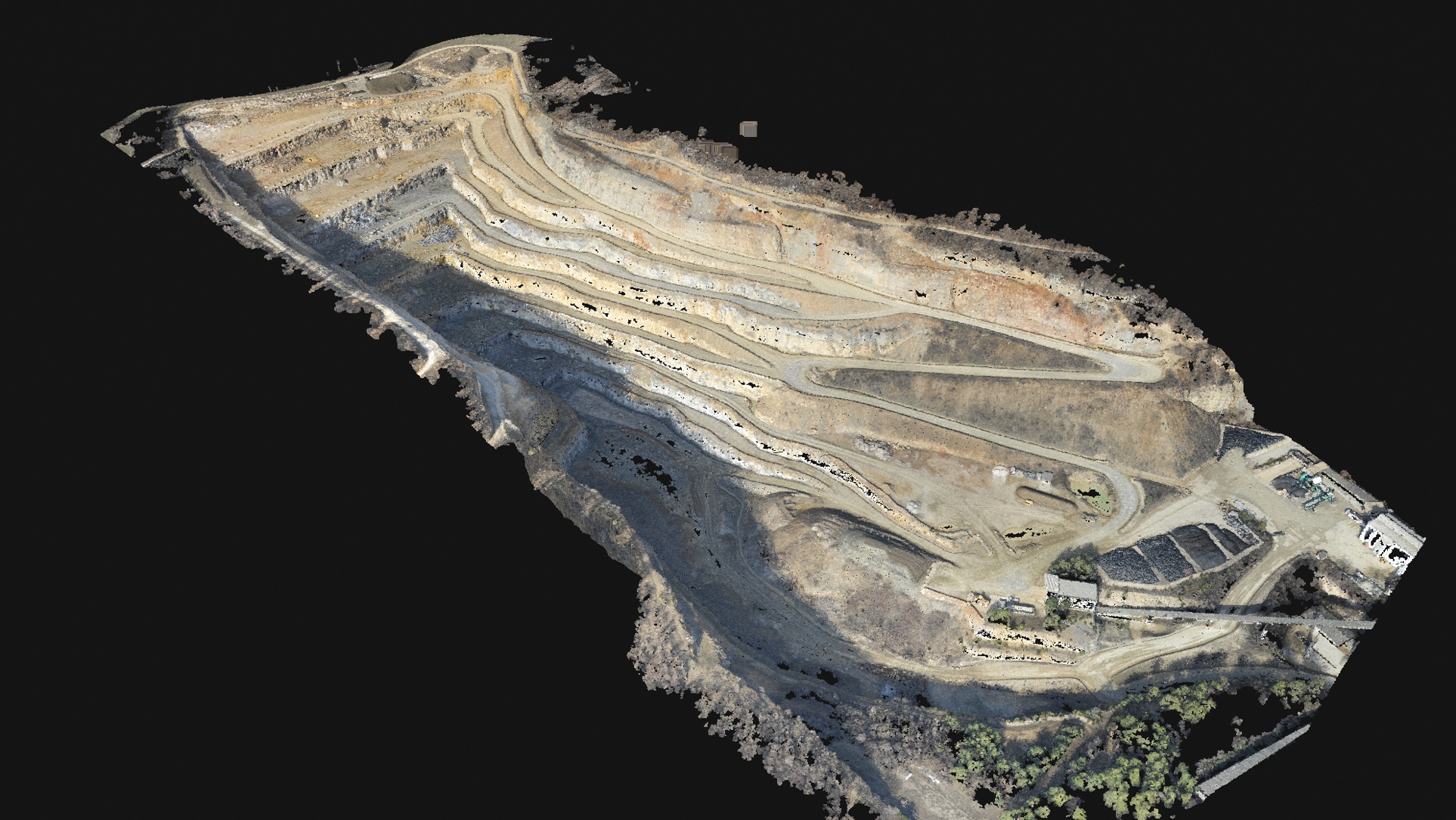
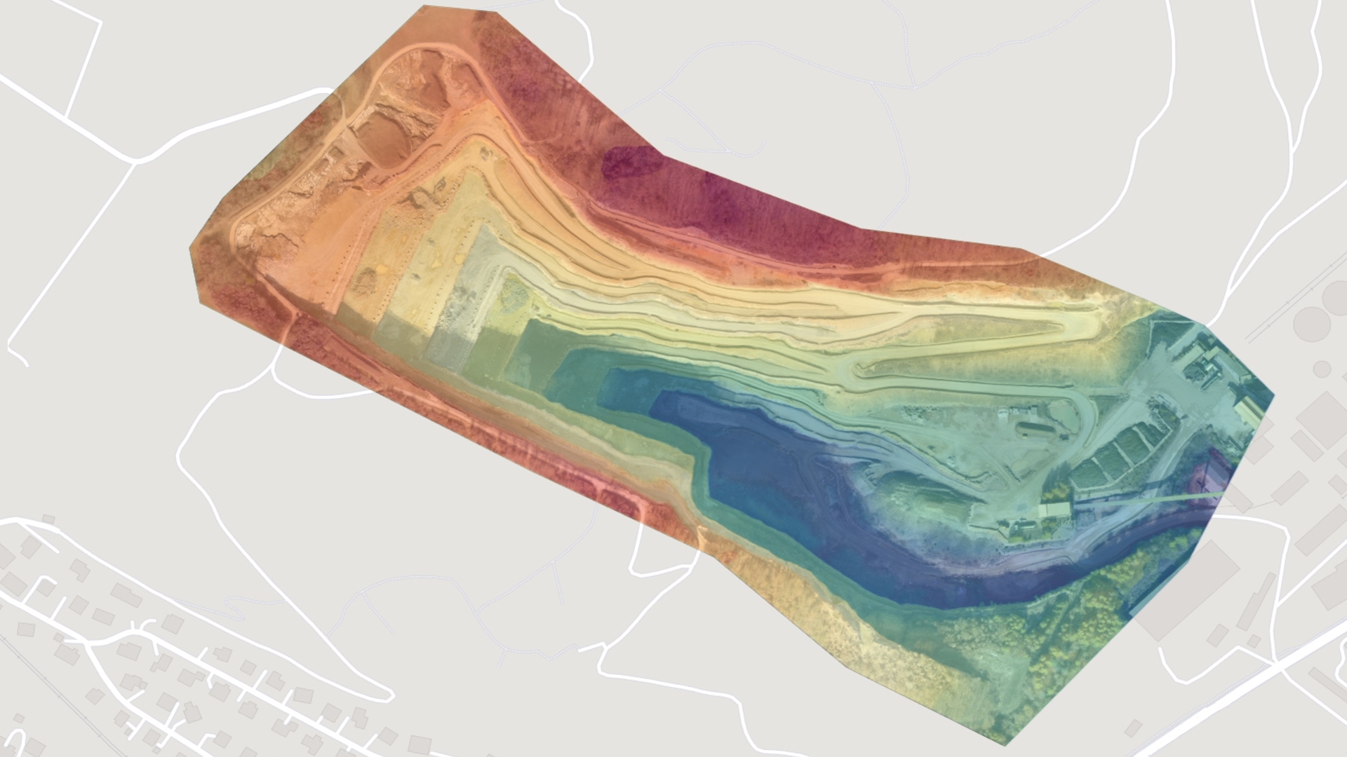
We can generate up-to-date orthomosaics and Digital Elevation Models (DEM) to support your project at various stages from initial concept, during construction and on to completion.
Don't just hope the landscape has not changed since the last Google Maps update - know for certain by capturing the latest imagery and terrain mapping.
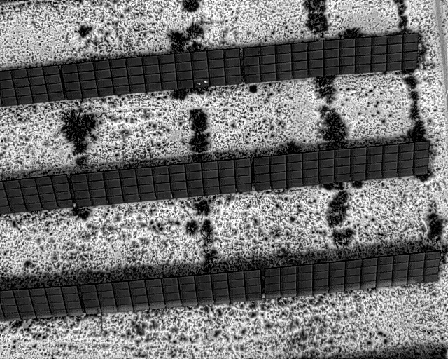
LIDAR and Thermal Imaging
We offer specialist survey services using drones equipped with Thermal or Laser imaging sensors, such as LIDAR and FLIR.
Example thermal image of photovoltaic (PV) panel arrays.
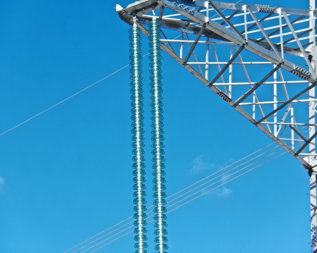
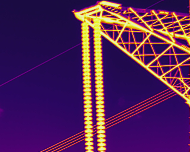
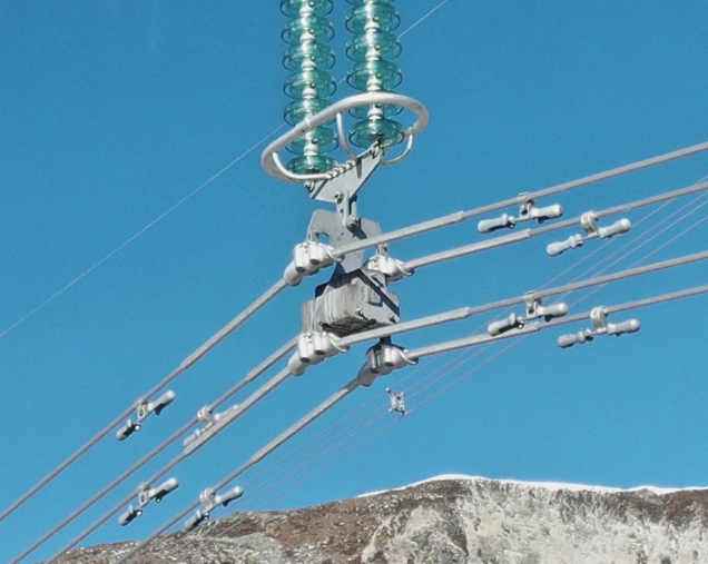
Examples below of visible spectrum and thermal images of high-tension power lines.

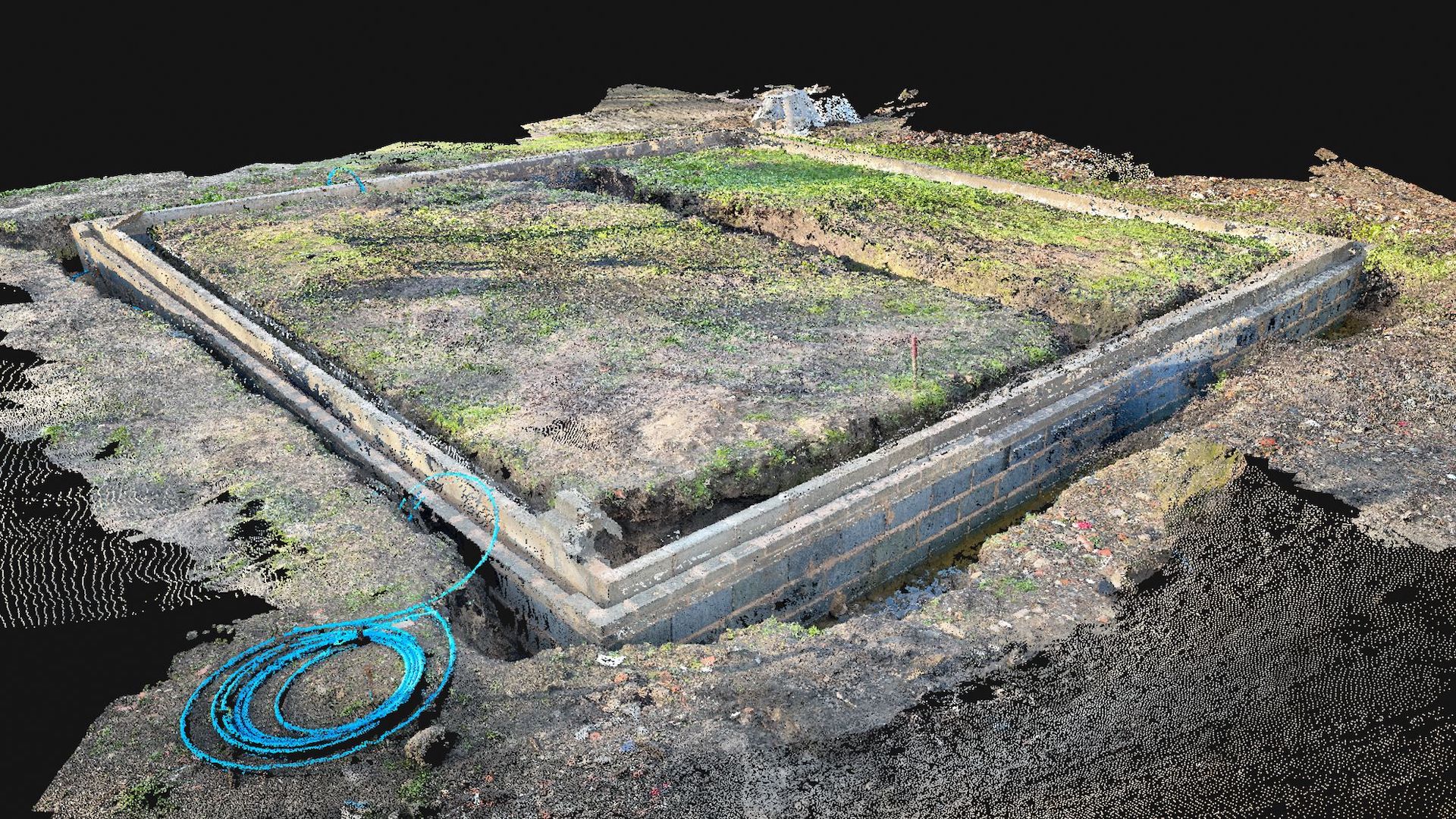
Surveying
Survey photogrammetry and laser point cloud mapping create accurate 3D representations of your site allowing both linear and quantitative measurements to be taken easily and quickly at all stages of construction.

3D Modelling
We can also capture 3D models of buildings, structures or other assets for BIM or CAD use.
Talk to us today about your project and how we might help you reach your goals.
Copyright 2024 Aviant Limited